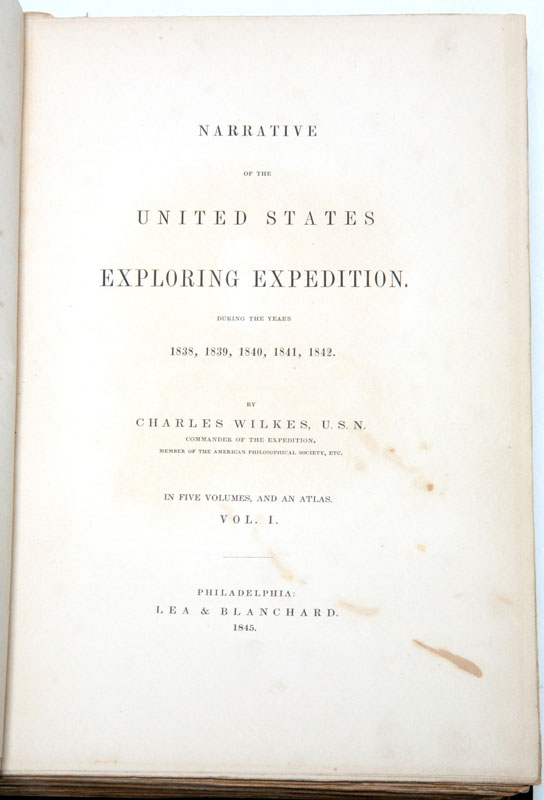


Narrative Of The United States Exploring Expedition. During The Years 1838, 1839, 1840, 1841, 1842. Philadelphia: Lea & Blanchard, 1845.
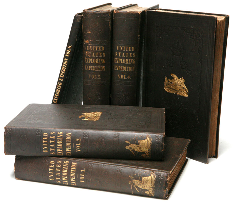
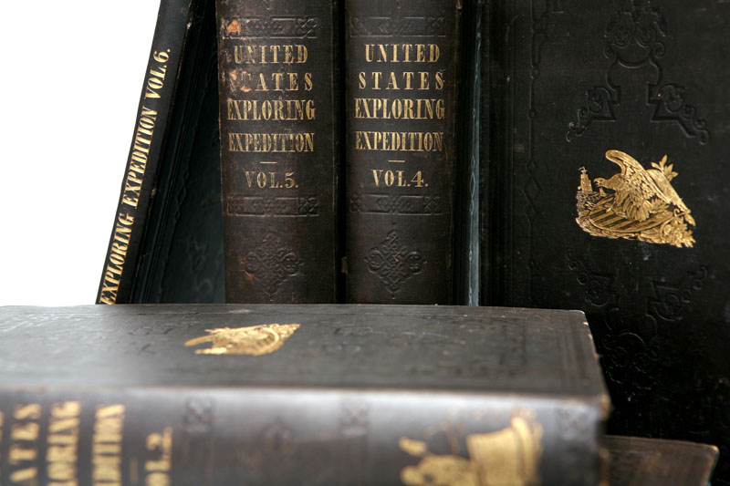
Five quarto volumes plus quarto atlas volume. [6, blank], lx, [1]-434, [2, blank]; [6, blank], [xvi], 1-476; [6, blank], [xvi], [1]-438, [2, blank]; [4, blank], [xvii], [1]-539, [1,blank]; [6, blank], [xvi], [1]-558, [8, blank] pp. With 64 full-page plates, 3 double-page tables, 9 double-page maps inserted throughout text volumes and 5 fold-out maps (1 hand-colored) in Atlas volume; with numerous text engravings. Publisher's cloth, stamped in blind, covers stamped with eagle and shield device in gilt. Some wear to spines and corners, four volumes with previous owner’s neat ink signatures (except volume I), a few pages opened a bit short at top, several pages unopened, volume III with shallow tide marks at bottom of plates and much of text, some foxing in text, atlas volume skillfully rebacked with the original backstrip laid down, skillful repaired tear to one map. Overall a very good copy.
First edition, after 250 printed for the government, out of 1,000 total copies (this being, essentially, the first trade edition). As an interesting side note, nearly 50 copies were destroyed by fire. It seems that the 250 printed for the government are now unobtainable.
Charles Wilkes (1789-1877) was an United States naval officer who commanded an ambitious, historically important exploration and surveying expedition which included the Antarctic Ocean, Pacific Islands, Western United States Coast, the Pacific and around the world to New York. The Wilkes Exploring Expedition collections became the foundation of the Smithsonian Institution.
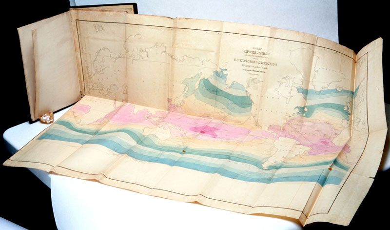
The Atlas includes 5 large fold-out maps: (1) Chart of the world showing the routes of the vessels of the U.S. Exploring Expedition (hand-colored); (2) Chart of the Antarctic Continent; (3) Chart of the Viti or Feejee (Fiji) Islands; (4) Map of the Oregon Territory; (5) Map of part of the island of Hawaii, Sandwich Islands, showing the craters and eruption of May and June, 1840. All of the maps are 25 1/2†x 36†except for #5 Hawaii, which is 17 1/2†x 24â€.
edinburgh uk viagra pages charles linskaill
Haskell, 2B; Howes,W-414
ID:
3107
$
10,000